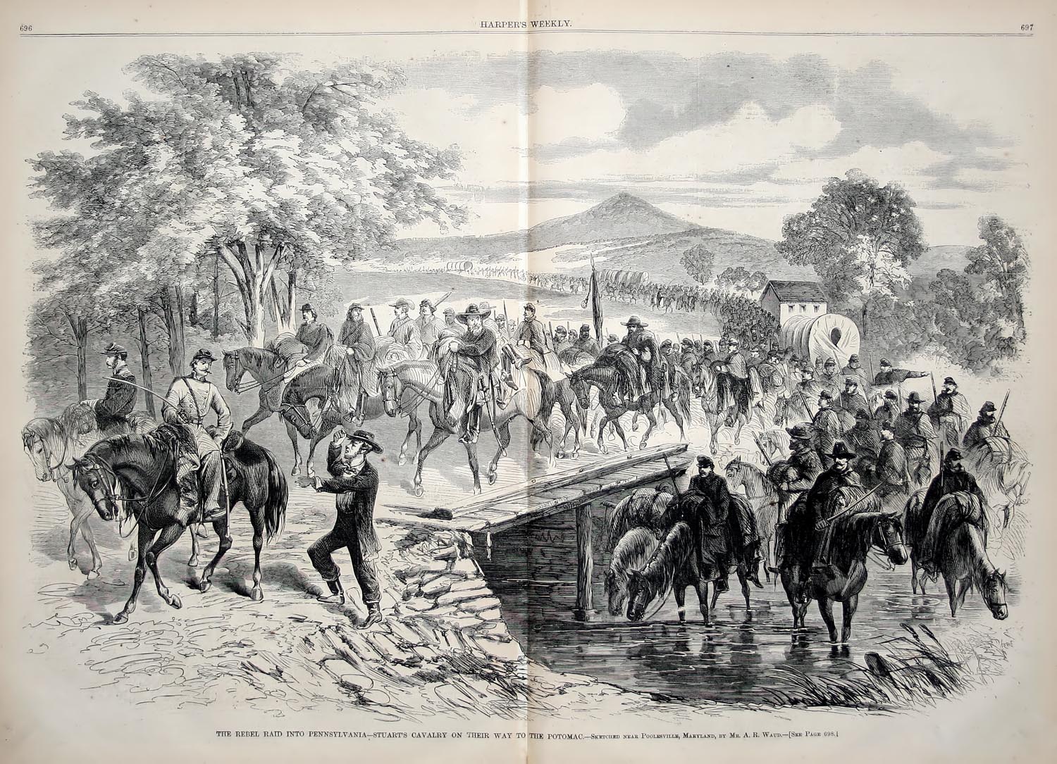
Blair's Valley sits near the Pennsylvania–Maryland boundary, and its best-documented history is its role as a border corridor. First in the French & Indian War era, when nearby frontier defenses guarded the Conococheague Settlement from the Warm Spring Indian Trail. Then in the antebellum period, when the valley road became one of the Underground Railroad's quiet northward passages. And most vividly during the Civil War, when the valley road was used — not once but three times — for rapid cavalry movement into Pennsylvania.
Two Pennsylvania state historical markers placed on Blairs Valley Road memorialize that corridor function directly. One commemorates Stuart's 1862 incursion. The other marks McCausland's 1864 approach to the Burning of Chambersburg. Both were relocated onto Blairs Valley Road specifically to reflect the actual route used by the Confederate cavalry. Their placement is itself evidence of what this road was.
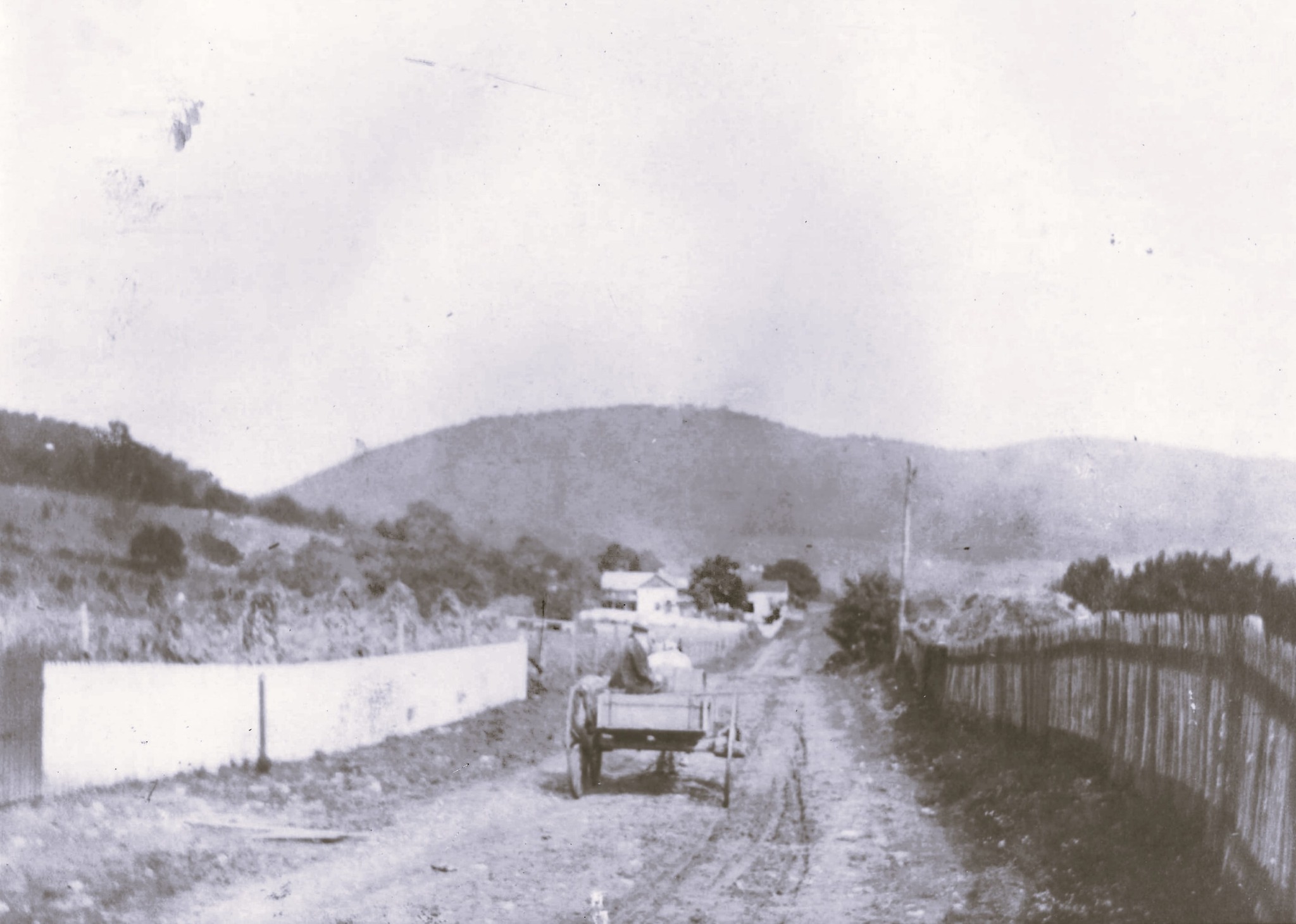
The valley's geography explains why stories cluster around route control: who could pass unseen, where a column could thread north through the ridges, where livestock could be hurried away, and where a small force could delay a larger one by controlling confined approaches. That corridor logic runs through every chapter of this valley's history.
"Over this road Gen. John McCausland's Confederate cavalry marched north on July 29, 1864. By way of Mercersburg, they reached and burned Chambersburg next morning."
— Pennsylvania Historical & Museum Commission marker, Blairs Valley Road